


 Foto: MUS_GRAPHIC/Adobestock
Flying by radar: New navigation technology for drones
Autonomous drones typically use the GPS satellite navigation system to navigate autonomously. In the absence of sufficient GPS coverage, many drones rely on cameras. Both technologies have drawbacks. Researchers involved in the CARNIVAL project are currently working on new methods to improve radar navigation.
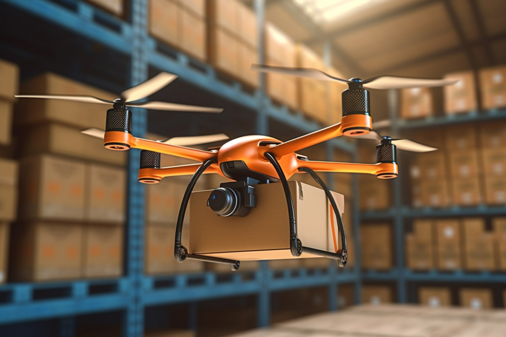
Autonomous drones can be deployed in many areas: They can be used in warehouses, in production facilities, as airborne suppliers or for inspections. Until a few years ago, these kinds of missions depended on the availability of a sufficiently strong GPS signal to support the autonomous navigation of the drones. Later, visual-based navigation technologies were added, requiring a camera to be placed on the drone, which – functioning similar to the human eye – helps the drone to find its way.
“But this technology also has its limitations: If there is little or no light, difficulties can arise. Fog, smoke, dust or rain also have a major impact on functionality”, as Jan Michalczyk explains. He is a doctoral student in the Control of Networked Systems (CNS) research group at the University of Klagenfurt and is working on radar-based navigation options for drones in the CARNIVAL project. Privacy is another challenge associated with the use of cameras: “The fact that vast quantities of images also feature people discourages the use of this technology in industry.”
Jan Michalczyk continues: “This is why we are working on a new generation of on-board localisation technology that relies on the use of radar. Radar offers many advantages, which the cameras also show: low cost, small size, low weight, low energy consumption. Yet at the same time, radar sensors do not need light to function. They are also able to perform their tasks in environments containing aerosol-laden air, a feature that is particularly relevant in industrial environments. Moreover, privacy is protected.” The challenges of this project involve generating and analysing appropriate radar signals that are suitable for state estimation and navigation.